Champawat is an old historical township with remnants of Chand dynasty of Kali Kumoun. It is located in Lower belts of Central Kumoun Himalayas at an altitude of 1550 msl. District Champawat was carved out from Pithoragarh and Nainital districts of Kumoun region. The district is known for its beautiful lush green forest canopy consisting of deodar, pine, rhododendron and kafal trees, voluminous and fast flowing rivers and gushing streams. The land area mainly consists of mountain ranges, large valleys, uneven landscape, braked cliffs, rivers and rivulets.
The major rivers traversing through the width and length of Champawat are Kali¬ Sarda, Saryu, Ladhia, Lohawati, Panaar and Ramganga (E). All these rivers debouch into the river Kali at Panar, Rameswar, Pancheswar etc. On the basis of geographical distribution Champawat district can be divided in three main geographical parts such as, Terai area that are important from the agriculture point of view possesses an average altitude of 200 to 250 meter; Shiwalik mid hills which is situated at a height of 250 to 1200 meter represents a sloping and uneven topographical land consisting of dense forests and Hilly area with an average height of 1500 meter.
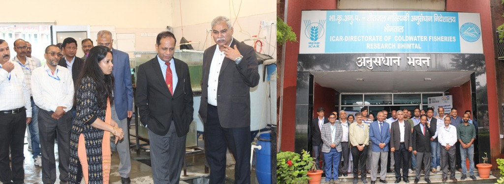
Experimental Fish Farm
The land of Experimental Fish Farm of Directorate of Coldwater Fisheries Research (then NRC-CWF) was procured at Chhirapani, Tarkeswar about 7 km away from Champawat town in the year 1988. The farm is situated on the banks of a holy stream Gandaki in 3.13 hectare land area (Long. 80007 'N, lat. 29030 'E, 1620 msl) in Central Kumoun Himalaya. The stream originates from southern extremity of the Kranteswar range of the hills at an elevation of 1860 msl in District Champawat and has high religious importance due to its North flowing nature. A number of streams of primary and secondary order originating from Kranteswar, Banlekh and Hingla hill ranges also debouch in the stream. The Gandaki is a perennial stream and receives water from discharge of the springs and seepages and through faults and permeable layers.
The stream traverses through varied catchments area including Middle and Lesser Himalayan region. The mountain peaks receives occasional snowfall during winter months. Nearly 70% area of the stream catchments is under dense forest cover, which is almost in pristine condition and the rest of the area is under cultivation. Both the banks of the stream have human settlements, though mostly sparse in density. The human settlement in the catchments depends on the stream for potable water and minor scale irrigation.
Infrastructure of Experimental Field Centre, Champawat